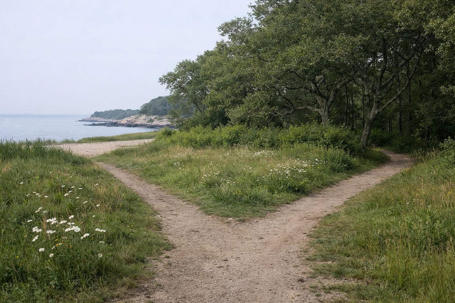
Rocky Neck State Park Map
DEEP publishes two maps of Rocky Neck State Park: a trail map dated March 5, 2026 that shows the whole park, and a separate campground map. The park map shows one main entrance off Route 156, a traffic circle where Campground Road and Beach Road split, the beach lots and pavilion at the south end, West Beach (the swimming area) and East Beach (no swimming), and twelve colour-coded trails between the Four Mile River on the west and Bride Brook on the east.
The Map at a Glance
Download the Official Maps
- Park and trail map (PDF): ctparks.com/media/449
- Campground map (PDF): ctparks.com/media/450
Both are DEEP's. This page describes them in words so you know what you are looking at; it is not a replacement map. DEEP notes that the park boundaries on its map are approximate.
How the Park Is Laid Out
Think of the park as a long triangle pointing south into Long Island Sound:
- North: the park entrance on Route 156, with I-95 just beyond. Past the ticket booth is a traffic circle.
- East side: Beach Road runs south along the eastern edge, near Giants Neck Road, to the beach lots. The campground loops fill the land between Beach Road and Bride Brook, reached by Campground Road.
- Middle: Bride Brook and its salt marsh run north to south through the middle of the park, with viewing platforms.
- West side: woods and meadow crossed by most of the trails, ending at the Four Mile River.
- South: the beach lots, the Ellie Mitchell Pavilion on its point, West Beach below it, the jetty, and East Beach running toward the mouth of Bride Brook. The Amtrak line runs east to west across this end of the park.
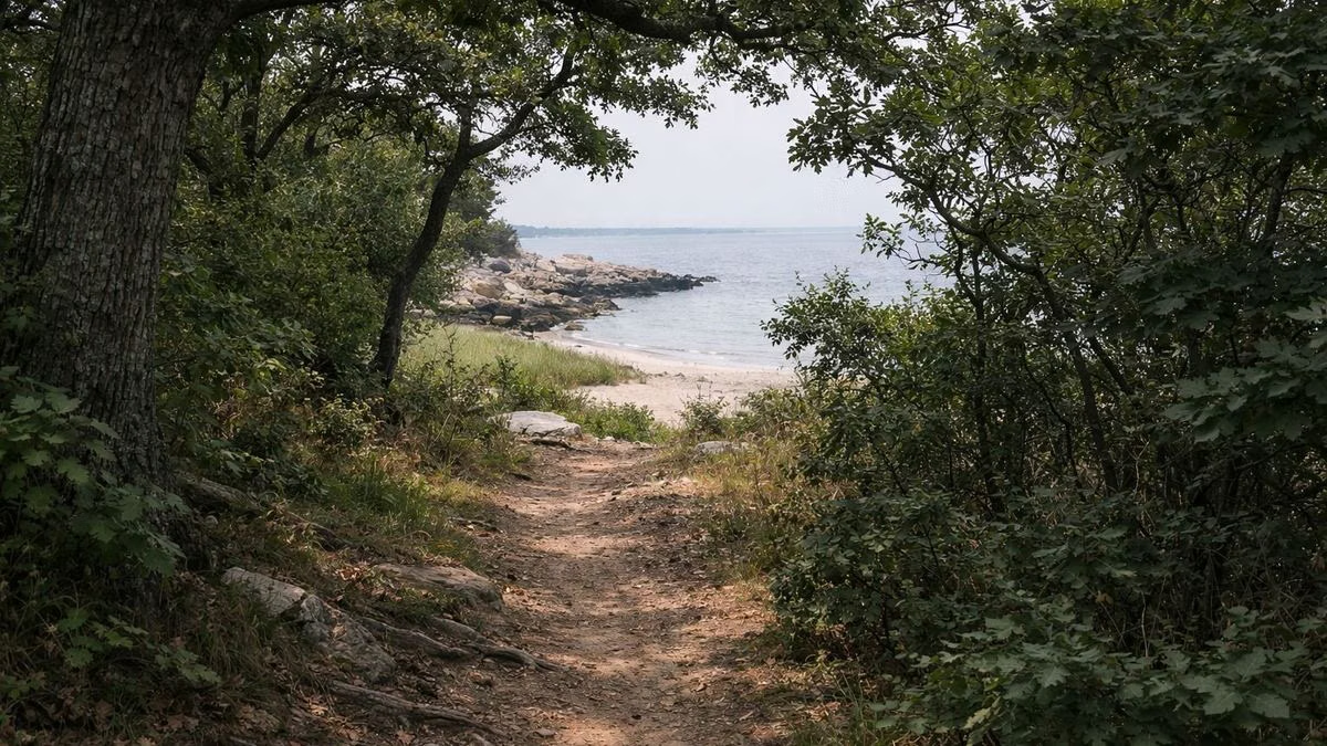
The Beach End
Around the beach lots DEEP's legend marks a concession, bathrooms, an office with bathroom, first aid and showers, handicapped parking, a crabbing deck near the mouth of Bride Brook, a viewing platform, the East Beach picnic shelter with a restroom, and the swimming area at West Beach. East Beach is labelled "No Swimming." Beach guide.
The Trails
DEEP colour-codes the trails Blue, Red, White, Yellow, Green, Orange and Purple, plus shared sections marked Blue/Red, Blue/White, Blue/Yellow, Red/White and Red/Yellow. Green stars mark junctions, and the number between two stars is the distance in miles (for example 0.44 on one Red section and 0.52 on the longest White section). The featured Rocky Neck Loop follows Red, then Blue, then Yellow for 2.5 miles. A trailhead parking lot sits at the north-west corner of the park. Hiking guide.
Landmarks to Find
- Tony's Nose Overlook: scenic view at the south-west, above the Four Mile River.
- Bakers Cave: just inland of Tony's Nose.
- Ellie Mitchell Pavilion: on the point between West Beach and the river mouth. The pavilion.
- Viewing platforms: along Bride Brook and its marsh. Bride Brook.
- Four Mile River water access: a launch and lot on the west bank of the river, outside the main park entrance. Four Mile River.
The Campground Map
The campground map shows the control booth at the entrance circle, the camp office where every vehicle stops to register, and five loops: Crane and Egret in the north, Heron and Seagull in the middle, and Osprey to the south-west. Lettered tent sites, an amphitheater and a small nature center sit at the south end, with a bikeway leading to the beach. Each loop has water and toilet buildings. Camping guide.
Using the Map on Your Phone
Download the PDF before you arrive. The trail junction markers and segment distances make it easy to match the map to the ground.
Rocky Neck State Park Map FAQ
Is there a map of Rocky Neck State Park?
Yes. DEEP publishes a park and trail map (dated March 5, 2026) and a separate campground map, both as free PDFs on ctparks.com.
Where is the swimming area on the Rocky Neck map?
West Beach, below the Ellie Mitchell Pavilion. The map marks East Beach as no swimming.
Where is Baker's Cave at Rocky Neck?
At the south-west end of the park, just inland of Tony's Nose Overlook, between the Blue and Yellow trails.
How many campground loops are on the Rocky Neck map?
Five: Crane, Egret, Heron, Seagull and Osprey, plus lettered tent-only sites at the south end.