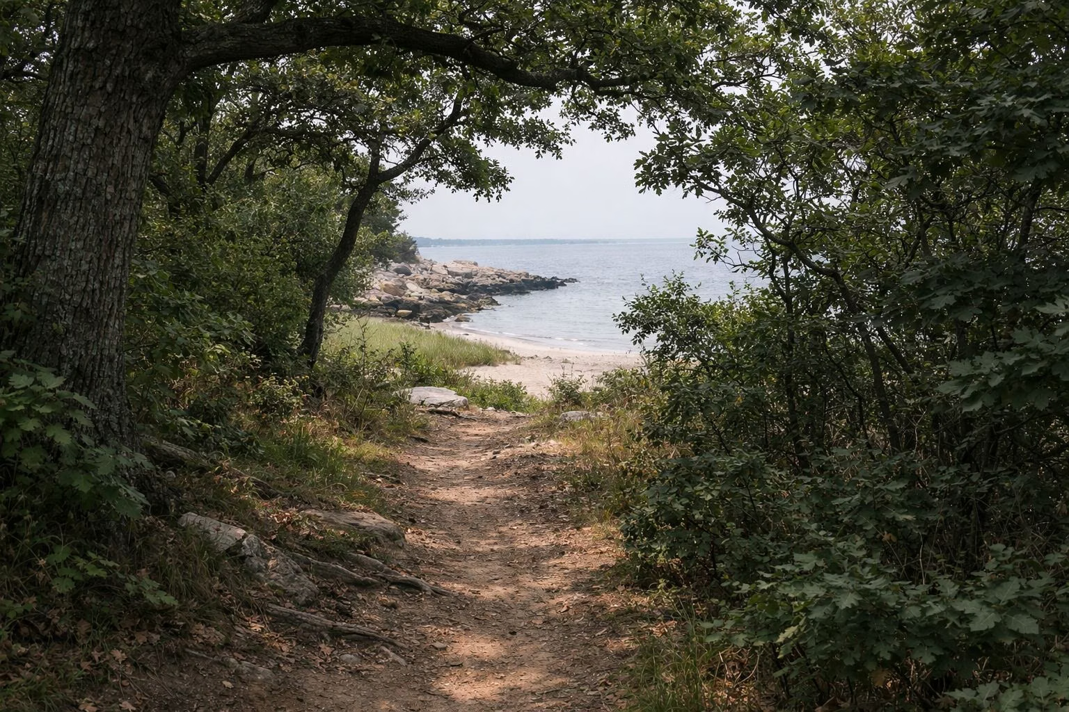
Hiking at Rocky Neck
Rocky Neck State Park has a five-mile network of paths, bridges and boardwalks, and every trail is open to walkers, runners, cyclists, birders and, in snow, skiers and snowshoers. The best single hike is the 2.5-mile Rocky Neck Loop, which DEEP rates easy to moderate: it follows the Red, Blue and Yellow trails past Tony's Nose Overlook, Baker's Cave and the remains of an old shipyard, with views of Long Island Sound and the Four Mile River.
Trails at a Glance
The Rocky Neck Loop (2.5 miles)
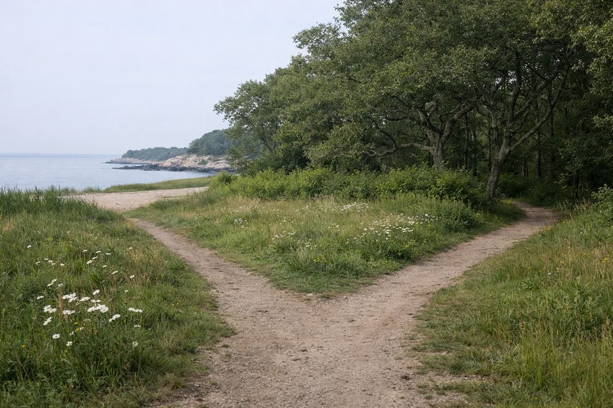
DEEP calls this a well-marked loop that runs the length of the park. Traced on DEEP's map, it leaves from near the beach lots, climbs north through oak-heavy coastal thicket, crosses salt marsh and grassy meadows full of wildflowers in season, and comes back down the west side above the Four Mile River. Follow the Red trail, then the Blue, then the Yellow, as DEEP describes it. On a clear day you can see both Long Island and Fishers Island from the high points.
Highlights along the way:
- Tony's Nose Overlook, a rocky point above the Four Mile River near the south-west end of the park, with a scenic-view symbol on DEEP's map.
- Baker's Cave, marked on the map just inland of Tony's Nose, between the Blue and Yellow trails.
- The old Shipyard Graveyard, remnants DEEP mentions along the loop.
The Rest of the Network
DEEP's map colour-codes a dozen trails and connectors: Blue, Red, White, Yellow, Green, Orange and Purple, plus shared stretches marked Blue/Red, Blue/White, Blue/Yellow, Red/White and Red/Yellow. Segment lengths are printed between green star markers, so you can build a longer or shorter walk. Some useful pieces from the map:
- Red trail runs up the middle of the park from the beach lots toward the north end, with segments of 0.18 to 0.44 miles between markers.
- Blue trail follows the west side above the Four Mile River, including a 0.33-mile stretch along the shore.
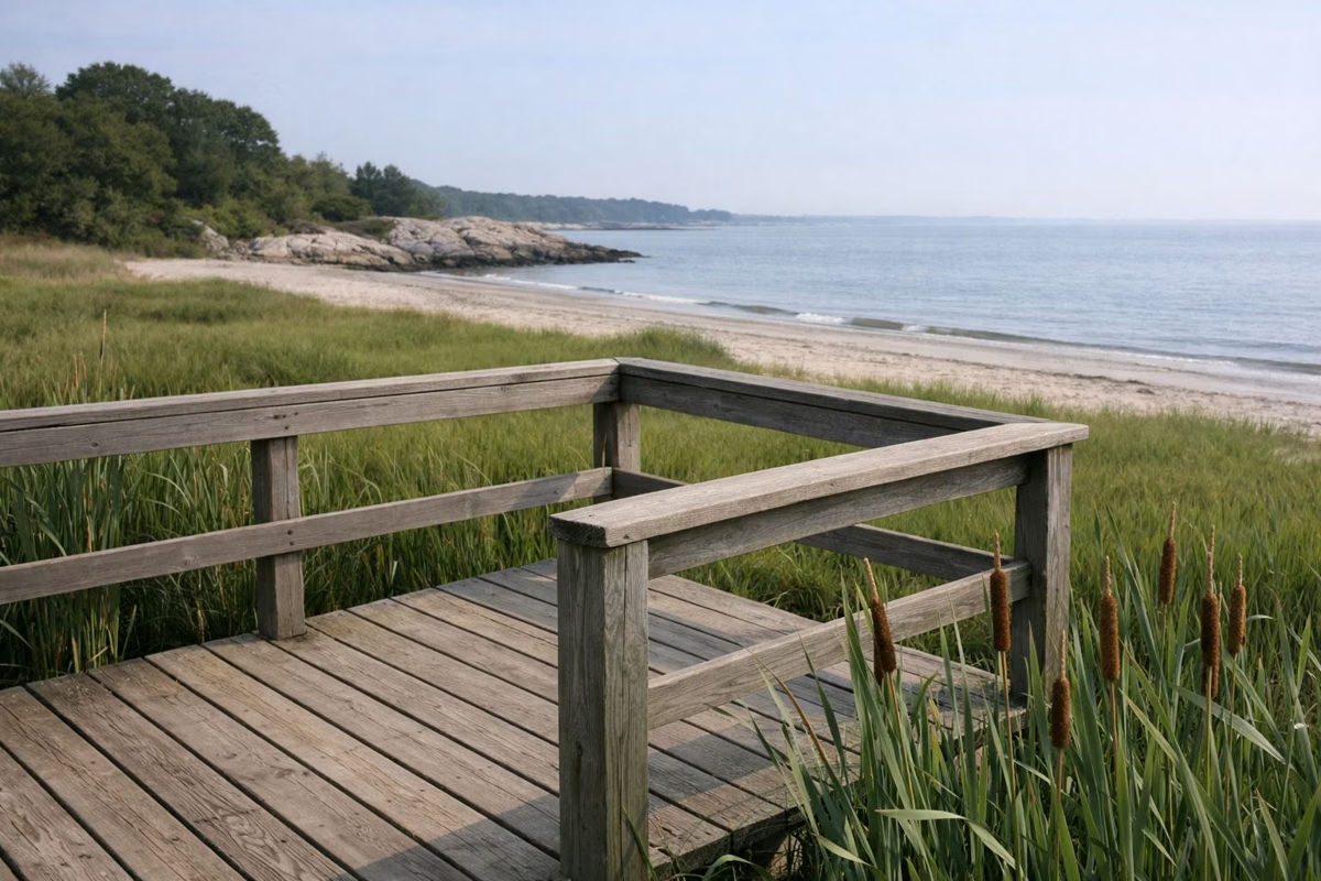
- White trail parallels Bride Brook on the east side, with segments of up to 0.52 miles, and passes a viewing platform over the marsh.
- Green, Orange and Purple are short connectors near the north end, by the trailhead parking area off Route 156.
See the trail map for how they fit together.
What the Walking Is Like
DEEP describes the network as paths, bridges and boardwalks through coastal thicket, salt marsh and grassy meadow, and rates the main loop easy to moderate. The geology shows up on the trails too: glacial boulders and glacial plucking on the ledges, and the granite gneiss and pegmatite DEEP lists for the main trail. History and geology.
Birding and the Marsh
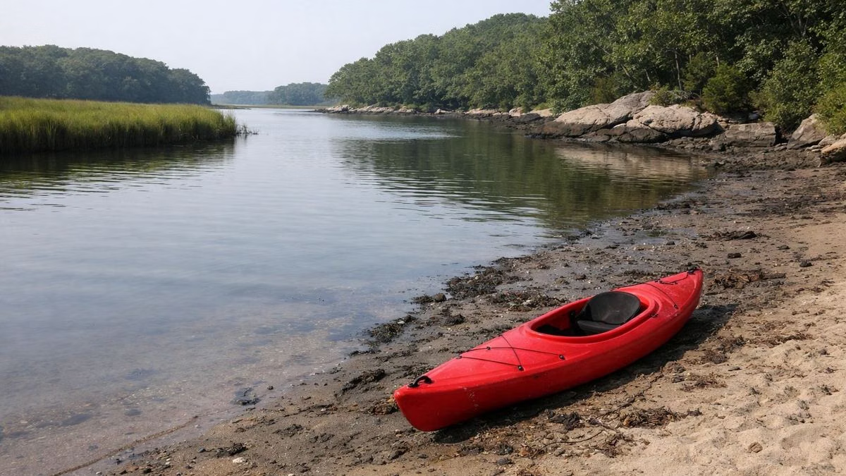
The trails along Bride Brook and its viewing platforms are the park's birding spots. DEEP notes ospreys in early summer and, in fall, cranes, herons and mute swans in the cattails and rose mallow. Bride Brook.
Bikes, Dogs and Winter
- Bikes and skates: all trails are non-motorized multi-use; DEEP names cyclists and roller-bladers among the users.
- Dogs: allowed on a leash on the trails, which are north of the train tracks. Dog rules.
- Winter: snowshoers and cross-country skiers use the network when snow falls.
Climbing
The steep ledges and boulders near the water draw climbers, and DEEP links Rocky Neck's route listings on Mountain Project from its hiking section.
Before You Go
Trail parking is in the beach lots or the separate lot at the north-west corner (parking). The park closes at sunset (hours).
Hiking at Rocky Neck FAQ
How long is the trail at Rocky Neck State Park?
The featured Rocky Neck Loop is 2.5 miles (Red to Blue to Yellow), and the whole network is about five miles of paths, bridges and boardwalks.
Is the Rocky Neck hike hard?
No. DEEP rates the Rocky Neck Loop easy to moderate.
What is Tony's Nose at Rocky Neck?
A rocky overlook above the Four Mile River on the Rocky Neck Loop, marked as a scenic view on DEEP's map.
Can you bike the trails at Rocky Neck?
Yes. All trails at Rocky Neck are non-motorized multi-use and open to cyclists.
Are dogs allowed on the Rocky Neck trails?
Yes, on a leash. The trails are north of the train tracks, where pets are allowed.