Bride Brook
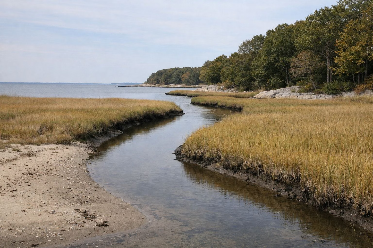
Bride Brook is the tidal creek and salt marsh that forms the eastern side of Rocky Neck State Park and meets Long Island Sound at East Beach. Every spring, high tides let schools of alewives, a kind of river herring, swim up the brook toward their spawning grounds, in what The Nature Conservancy calls the largest alewife population in Connecticut. You can watch the marsh from viewing platforms and trails inside the park.
Bride Brook at a Glance
What You See From the Park
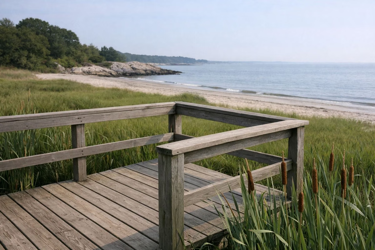
DEEP's trail map shows Bride Brook running from the north end of the park down through the middle, widening into salt marsh before it reaches the beach. The White trail follows its west bank, and viewing platforms look out over the marsh. Near the beach, DEEP's map marks a crabbing deck where the brook reaches the Sound, beside East Beach.
The Alewife Run
Alewives spend three to five years in Long Island Sound and the Atlantic before returning to spawn, according to Save the Sound. At Rocky Neck, DEEP says, high spring tides carry the schools into Bride Brook toward inland spawning grounds. Save the Sound, which tracked DEEP's counts, names those grounds as Bride Lake. Weather matters: in the hard winter of 2015 the run started almost a month late, then picked up in late April and May.
The numbers tell the story of the brook:
- 1960s: about 250,000 alewives a year.
- 2000s: down to about 80,000, still one of the better runs in the state.
- 2013: a record year, nearly five times the earlier level.
- 2015: a final tally near 220,000.
The 2010 Culvert Fix
Starting in the late 1970s, two 24-inch metal culverts were Bride Brook's only link to the Sound. They clogged with sand, choked off the tide and corroded. In 2010, Save the Sound (then Connecticut Fund for the Environment), working with CT DEEP, NOAA, the USDA Natural Resources Conservation Service, the US Fish and Wildlife Service and others, replaced them with one larger, shorter concrete box culvert. The project restored about five river miles, five acres of dune, 72 acres of lake and 81 acres of marsh, and the alewife run more than doubled the next year.
Birds of the Marsh
DEEP notes that ospreys, the "fish hawks", are frequent early-summer visitors, and that in fall cranes, herons and mute swans wade among the cattails and rose mallow. The marsh and its platforms are the park's best birding spot. Hiking.
The Marsh Restoration Project
The marsh is still in trouble. The Nature Conservancy says bridges and other infrastructure along Bride Brook keep the 82-acre marsh from connecting fully with Long Island Sound, which changes the water flow and sediment and leaves open pools where there should be solid marsh. In December 2024 TNC received a $4 million grant from NOAA to study the problem and design solutions with DEEP and partners. In 2026 it ran public Trails, History and Nature Days at the park, including fish and glass eel viewing at Bride Brook.
Fishing and Crabbing Near the Brook
Crabbing is allowed in designated areas, and DEEP's map puts a crabbing deck by the mouth of Bride Brook. Check current rules before taking anything from the brook during the spring run. Fishing.
Bride Brook Park Is Different
Samuel M. Peretz Park at Bridebrook, at 221 West Main Street, is a Town of East Lyme sports park with ball fields and courts. It is not part of the state park. East Lyme beaches and parks.
Bride Brook FAQ
Where is Bride Brook?
On the east side of Rocky Neck State Park in East Lyme, Connecticut. It runs through the park's salt marsh and reaches Long Island Sound at East Beach.
When is the alewife run at Bride Brook?
In spring. DEEP says high spring tides carry schools of alewives into the brook; in 2015 the run peaked in late April and May.
How many alewives run up Bride Brook?
Save the Sound reported a 2015 tally near 220,000, up from about 80,000 a year in the 2000s, after the 2010 culvert replacement.
Can you see the alewives at Rocky Neck?
The brook and marsh are visible from viewing platforms and trails inside the park, and TNC has run public fish-viewing events at Bride Brook.