Four Mile River
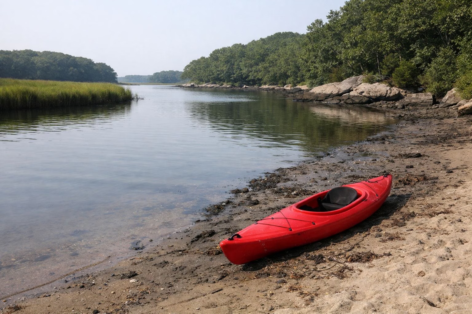
The Four Mile River is the tidal river that forms the western edge of Rocky Neck State Park and meets Long Island Sound just west of the Ellie Mitchell Pavilion. DEEP runs a separate Four Mile River water access area with its own parking lot and water launch on the river's west bank, and the park's Blue trail and Tony's Nose Overlook give the best views of it from the land side.
The River at a Glance
Where It Is
DEEP describes Rocky Neck as sitting between a salt marsh and a tidal river: the river is the Four Mile River on the west, and the marsh is Bride Brook's on the east. On DEEP's park map the river runs south past the park's wooded west side and enters the Sound at the beach end, where the Amtrak line crosses it.
The Water Launch
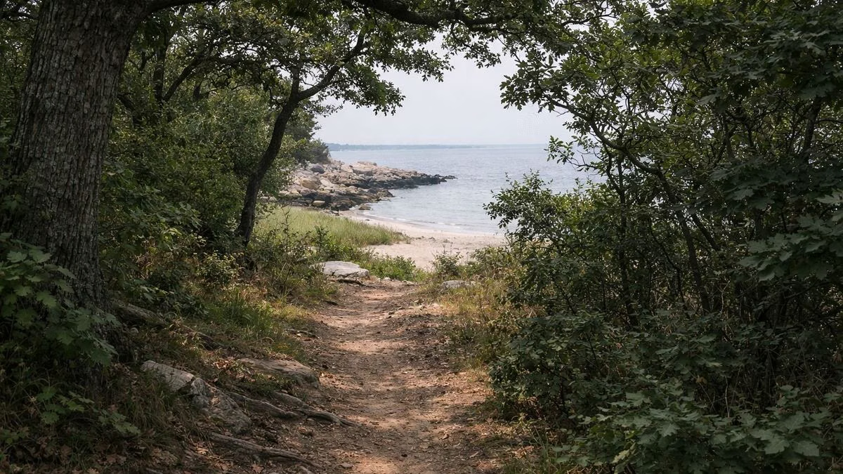
DEEP's map marks a Four Mile River water launch and a parking area inside a shaded "Four Mile River Water Access" zone on the river's west bank, outside the main park. It is not reached through the main park entrance. DEEP's map does not say what kind of launch it is or what boats it suits, so call the park office at (860) 739-5471 before you bring one.
Tony's Nose Overlook
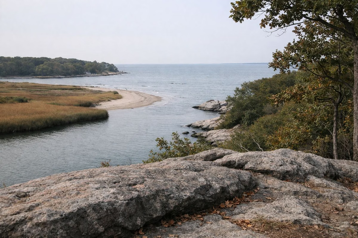
Tony's Nose is the rocky point at the south-west end of the park, marked as a scenic view on DEEP's map, where the Blue and Yellow trails come together above the river mouth. DEEP's description of the Rocky Neck Loop promises sweeping views of Long Island Sound and the Four Mile River from this stretch. Baker's Cave is just inland. Hiking.
Walking Along the River
The Blue trail follows the west side of the park above the river, including a 0.33-mile section near the shore on DEEP's map. It ties into the Red trail and the Yellow spur to Tony's Nose, so you can make a loop from the beach lots.
The Railroad Bridge
The shoreline railroad crosses the river near its mouth. The Nature Conservancy dates the railway bridge at Rocky Neck to 1851.
Fishing and Tides
DEEP lists fishing from the park's jetty, and the river is tidal, so water levels at the launch change through the day. Check the tide before you launch: tides. Licenses and species: fishing.
Wildlife
DEEP describes the park as bounded by the tidal river on the west and salt marsh on the east, a setting known for fish and wildlife. Ospreys, herons and swans are listed among the birds DEEP notes around the park's waters. Bride Brook.
Four Mile River FAQ
Where is the Four Mile River?
In East Lyme, Connecticut. It forms the western boundary of Rocky Neck State Park and flows into Long Island Sound just west of the park's pavilion.
Is there a boat launch on the Four Mile River at Rocky Neck?
DEEP's map shows a Four Mile River water launch with its own parking area on the river's west bank, outside the main park.
Where is the best view of the Four Mile River?
Tony's Nose Overlook, at the south-west end of Rocky Neck State Park on the Blue and Yellow trails.